-

Frühlingsgefühle Velden am Wörthersee -

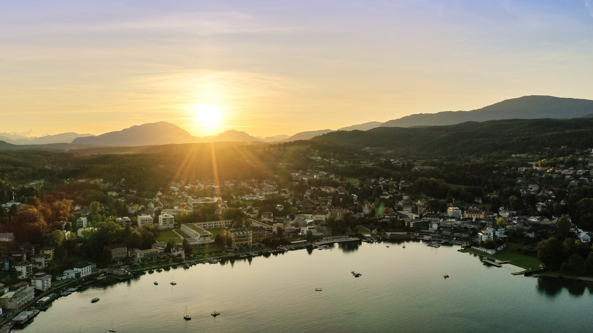
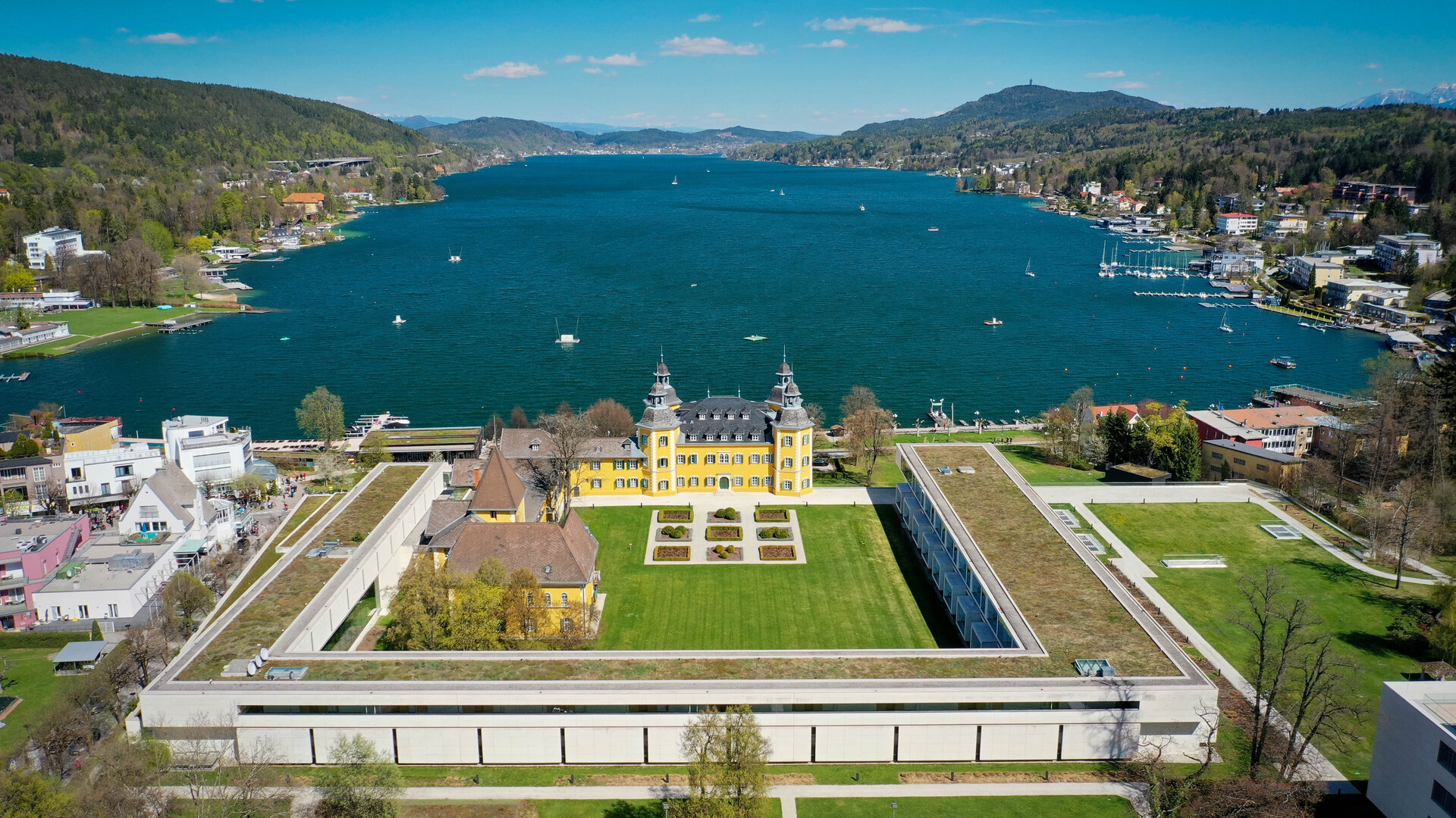
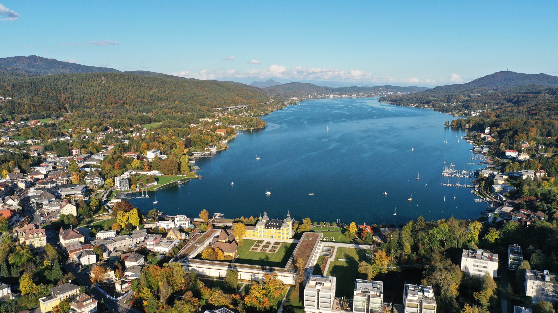
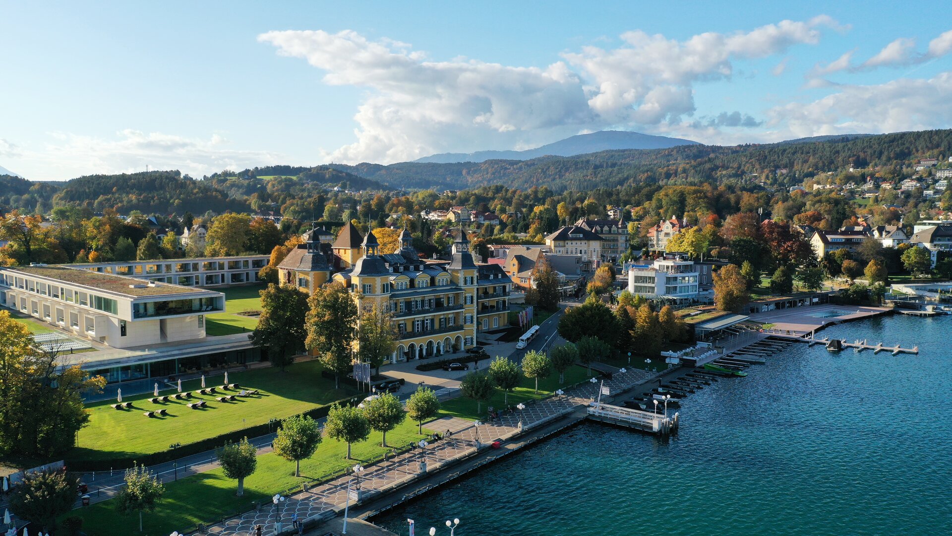
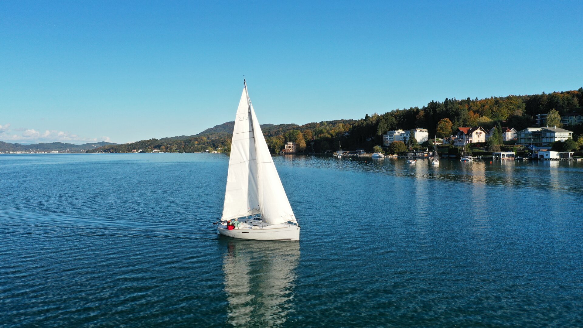
Velden am Wörthersee <p>Trendig, stylish, modern und trotzdem liebenswert kärntnerisch. Mit diesem einzigartigen Lebensgefühl am wohl schönsten und bekanntesten See Österreichs, so präsentiert sich Velden seinen Besuchern aus dem In- und Ausland.</p> -
-
-
-
-
Villacher Alpe
-
__NO_NAME__
From Mühlbach it goes through the Rosental to Villach. The Villach Alpine Road measures 16.5 kilometers from Villach-Möltschach (550 m) to the Dobratsch (Rosstratte 1,732 m), but not quite to the summit (2,167 m). Because it has to be conquered on foot. Along the road, magnificent views of Villach, the Karawanken, the Julian Alps and the largest landslide area in the Eastern Alps on the southern flank of the Dobratsch open up again and again.
Ascent: 1825 m
Descent: 1824 m
Minimum Altitude: 471 m
Maximum Altitude: 1729 m
Length: 84.1 km
Duration: 225 min
Author: Andreas Irnstorfer

On the L55 from Velden to St. Jakob im Rosental.
Not recommended by public transport.
Parking available at the Hotel Rosentaler Hof.
instructions
Mühlbach - Winkl - Latschach - Finkenstein - Warmbach/Villach - Villacher Alpe - Warmbach/Villach - Finkenstein - Faak am See - Drobollach - St. Niklas - Rosegg - Mühlbach
Höhenprofil

Do you want to allow Integration of external maps material?
Allows displaying map-material (images) from openstreetmap to provide interactive map-features. By allowing this feature, you accept the privacy agreement of openstreetmap.
