-

Kapuzinerinsel am Wörthersee #visitwoerthersee -
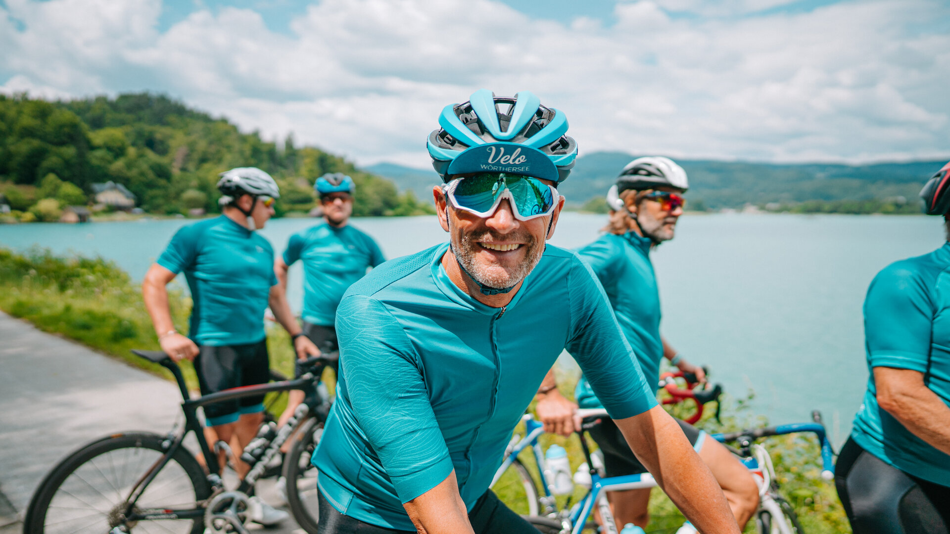
#visitwoerthersee -

Auftaktveranstaltung am 1. Mai 2025 See.Ess.Spiele -

Von 21. auf 22. Juni 2025 Sonnwendwanderung -

6.-8. Juni 2025 NAMASTE AM SEE Yoga Festival
Forstsee Runde
-
__NO_NAME__
The Forstsee loop runs in a wonderfully quiet natural setting, inviting you to relax and feel good thanks to the changing ground conditions. From the panoramic parking lot, you take a gravel path through the forest to the beautiful Forstsee. On partly narrow paths you pass the Forstsee, where numerous bathing places near the lake invite you to refresh yourself. Especially recommended is a visit to the Josefikapelle, which is hidden in the dense forest on the south side of the Forstsee.
The Forstsee is a popular nudist bathing place in the summer months!
Ascent: 34 m
Descent: 33 m
Minimum Altitude: 599 m
Maximum Altitude: 627 m
Length: 4.3 km
Duration: 100 min
Author: Andreas Irnstorfer

On the B83 from Saag in the direction of Forstsee
Parking available at the starting point. Chargeable
instructions
Wörthersee circular hiking trail and trail no. 21.
Höhenprofil

Do you want to allow Integration of external maps material?
Allows displaying map-material (images) from openstreetmap to provide interactive map-features. By allowing this feature, you accept the privacy agreement of openstreetmap.
Impressionen
maps
Lake Wörthersee regional map, Kompass map Wörthersee-Klagenfurt, Freytag & Berndt hiking and leisure map Wörthersee