-

Aktiv entspannen. Die vier Slow Trails am Wörthersee -

Grenzgang im Süden Panoramaweg Südalpen
Krumpendorfer Weitwanderweg
-
Krumpendorf am Wörthersee
The Krumpendorf long-distance hiking trail with a total length of 16.20 km starts from the Parkbad in the direction of Leinsdorf. Then through the beautiful forest to the view west and then on to the Pirkerkogel at 663 m altitude. Past the Wirtnigteich pond via Nußberg and Görtschach it goes back to the start. A hiking trail for all senses in a dreamlike natural landscape and challenging due to interesting ascents and descents.
Ascent: 405 m
Descent: 405 m
Minimum Altitude: 444 m
Maximum Altitude: 653 m
Length: 16.2 km
Duration: 330 min
Difficulty: medium
Condition:
Experience:
Landscape:
Author: Andreas Irnstorfer

On the A2 or B83 to Krumpendorf am Wörthersee
Arrival by bus, train or Wörthersee boat trip possible
Parking available in Krumpendorf
Directions
From Parkbad Krumpendorf in the direction of Pörtschach to Leinsdorfer Straße, turn right along Leinsdorfer Straße to the Longoweg junction and then into the forest (hiking trail B). After the beautiful forest path, the highway is crossed underneath and you go to the "Aussicht West", past the Pirkhof and on to the Pirkerkogel (666m).
From the Pirkerkogel it goes along the Wörthersee circular hiking trail (blue-white-blue markings) downhill in the direction of Pirk - St. Ulrich parish church - on to the Wirtnigteich pond. Then in the direction of Drasing until you reach Kollebauer. Immediately after that turn left, follow the road for a while. Then turn right into the forest (red - white - red marking on the trees) to Nußberg (wooden cross). From there continue south to Görtschach (Gasthof Pisl), continue along the Görtschacher Straße and then turn right directly into the forest. The path joins the Drasinger Straße, continue towards Gasthof Jerolitsch and then back to the main road.
Continue over the railroad crossing, past Bad Kropfitsch and back along the bike path and sidewalk to Schlossallee / Gemeindeamt. The path is marked red - white - red throughout.
Höhenprofil

Do you want to allow Integration of external maps material?
Allows displaying map-material (images) from openstreetmap to provide interactive map-features. By allowing this feature, you accept the privacy agreement of openstreetmap.
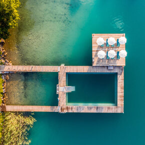
Impressionen
Additional information
Equipment
Hiking boots. Otherwise no special equipment required.
Literature
Regional map of Lake Wörthersee, Kompass map of Lake Wörthersee-Klagenfurt, Freytag & Berndt hiking and leisure map of Lake Wörthersee
Unterkünfte buchen und entdecken
Wörthersee INFOMATERIAL
