-

Kapuzinerinsel am Wörthersee #visitwoerthersee -
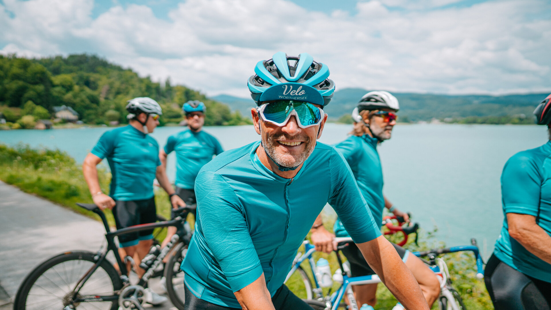
#visitwoerthersee -

Auftaktveranstaltung am 1. Mai 2025 See.Ess.Spiele -

Von 21. auf 22. Juni 2025 Sonnwendwanderung -

6.-8. Juni 2025 NAMASTE AM SEE Yoga Festival
Sekirn Runde
-
__NO_NAME__
The blue Sekirn loop is a challenge even for experienced runners and walkers. The somewhat steeper climb from Reifnitz changes at km 2.6 to natural ground and from there in the heavily cropped terrain through untouched forest area. After km 4,5 the course runs downhill towards the Wörthersee. Along the Süduferstraße, then slightly uphill past the Hubertuskirche and the Weißteichen back to Reifnitz. At km 2.8 you have the option of shortening the route to 6.4 km via the steep Mühlenweg.
Ascent: 278 m
Descent: 278 m
Minimum Altitude: 441 m
Maximum Altitude: 653 m
Length: 10.4 km
Duration: 120 min
Difficulty: medium
Condition:
Experience:
Landscape:
Author: Andreas Irnstorfer

On the Wörthersee south shore road to Reifnitz
Arrival by boat
Parking lot lido Reifnitz
Directions
The somewhat steeper ascent from Reifnitz changes at km 2.6 to natural ground and from there in heavily cropped terrain through untouched woodland. After km 4.5 the route runs downhill in the direction of Wörthersee. Along the south shore road, then slightly uphill past the Hubertus church and the Weißteichen, back to Reifnitz.
Höhenprofil

Do you want to allow Integration of external maps material?
Allows displaying map-material (images) from openstreetmap to provide interactive map-features. By allowing this feature, you accept the privacy agreement of openstreetmap.
Impressionen
Additional information
Tips
Also suitable for Nordic walking
Literature
Running - Walking - Hiking in Maria Wörth